Iran's Shaking Ground: Understanding The Persistent Seismic Threat
Table of Contents
- Understanding Iran's Seismic Hotspot: Why the Ground Shakes So Often
- A Decade Under Pressure: Major Earthquakes in Iran (2014-2024)
- Sensitive Infrastructure and Seismic Risk: A Critical Nexus
- The Human Toll: Impact and Resilience in Earthquake-Prone Regions
- Earthquakes Amidst Geopolitical Tensions: A Complex Layer of Vulnerability
- Mapping the Risk: Iran's Extensive Fault Systems
- Building for Resilience: Iran's Journey Towards Earthquake Preparedness
- Looking Ahead: The Unyielding Reality of Earthquakes in Iran
Understanding Iran's Seismic Hotspot: Why the Ground Shakes So Often
Iran's geological makeup places it squarely within one of the world's most active seismic zones. This is not a matter of chance but a direct consequence of its location at the intersection of major tectonic plates. The relentless movement and collision of these colossal segments of the Earth's crust are the primary drivers behind the frequent and often powerful **earthquakes in Iran**.The Tectonic Dance: Iran's Geological Predicament
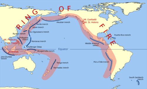
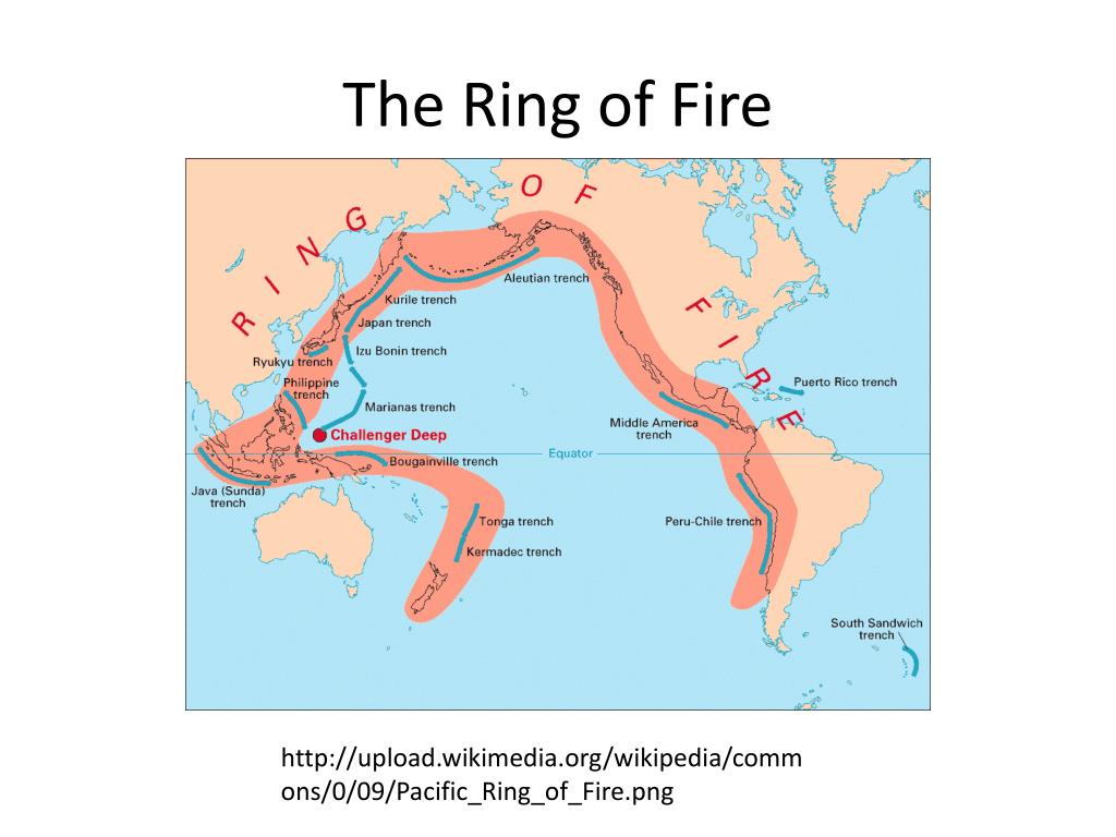
At its core, Iran's seismic activity stems from the ongoing collision between the Arabian Plate and the Eurasian Plate. The Arabian Plate is steadily pushing northward into the Eurasian Plate, a colossal geological process that has been unfolding over millions of years. This immense compressional force is largely accommodated by the uplift of the Zagros Mountains, a prominent range that stretches across western and southern Iran. This region is part of the broader Alpine-Himalayan orogenic belt, often referred to as the "Alpine Belt," which is a vast, seismically active zone extending from the Atlas Mountains in North Africa, through the Alps, Turkey, Iran, and into the Himalayas. The energy generated by this slow, inexorable collision doesn't dissipate smoothly. Instead, it builds up along fault lines within the Earth's crust until the stress exceeds the strength of the rocks, leading to a sudden rupture – an earthquake. The shallow depth at which many of these tremors occur often exacerbates their impact on the surface, increasing the potential for damage and casualties. This constant tectonic dance ensures that Iran remains in a state of perpetual seismic vulnerability, making understanding these forces paramount for its population.A Network of Faults: The Country's Vulnerability
Beyond the broad plate collision, Iran is crisscrossed by an intricate network of active fault lines. These geological fractures permeate the country, with estimates suggesting that at least 90% of Iran is covered by major faults. These faults act as conduits for seismic energy, making nearly every region susceptible to tremors. When the stress accumulated along these faults is released, the resulting earthquakes can be both frequent and highly destructive. The sheer number and distribution of these faults mean that seismic events are not isolated incidents but a regular occurrence across the Iranian landscape. According to earthquake statistics, Iran experiences an astonishing average of around 2100 earthquakes per year. This high frequency underscores the dynamic nature of the region's geology. More concerningly, a significant portion of these events are powerful enough to cause substantial damage; approximately 15.7 earthquakes of magnitude 5 or higher strike Iran annually. This constant barrage of seismic activity, from minor tremors to significant shakes, is a defining characteristic of life in this geologically active nation. The destructive potential of these frequent quakes means that preparedness and resilient infrastructure are not luxuries but absolute necessities.A Decade Under Pressure: Major Earthquakes in Iran (2014-2024)
The past decade has underscored Iran's seismic vulnerability with several significant events that have left lasting impacts. While smaller tremors are a daily reality, it is the larger, more destructive earthquakes that truly test the nation's resilience and highlight the urgent need for robust preparedness measures.The Devastating Kermanshah Earthquake of 2017
Among the most powerful and tragic **earthquakes in Iran** in recent memory was the magnitude 7.2 earthquake that struck Kermanshah Province, Iran, on Sunday, November 12, 2017. This temblor, which occurred at 09:48 pm local time (Asia/Tehran GMT +3:30), was the strongest recent earthquake of the past 10 years near Iran, and its impact was catastrophic. The quake, centered about 22 miles southwest of the city of Sarpol-e Zahab, sent tremors through the region, causing widespread destruction. The sheer force of the 7.2 magnitude event resulted in immense loss of life and property. Thousands were killed, tens of thousands injured, and hundreds of thousands displaced as homes, schools, and infrastructure crumbled. The scale of the disaster prompted a massive international humanitarian response, yet the scars of the Kermanshah earthquake run deep, serving as a grim reminder of the devastating power of seismic activity in such a densely populated and geologically active region. The event highlighted not only Iran's inherent vulnerability but also the critical importance of resilient building codes and effective disaster response mechanisms.Recent Tremors: A Glimpse into Daily Seismic Activity
While the Kermanshah quake stands out for its magnitude and impact, the daily reality for Iran is a constant drumbeat of smaller, yet significant, tremors. The data paints a clear picture of this ongoing seismic activity. In the past 24 hours alone, there have been 2 earthquakes of magnitude 1.5 or greater reported near Iran. Extending that timeframe, the past 7 days have seen 4 such earthquakes, while the past 30 days recorded 9 tremors. Looking back over the entire year, a staggering 120 earthquakes have occurred near Iran in the past 365 days. These statistics, while focusing on smaller magnitudes, collectively illustrate the dynamic and restless nature of the Earth beneath Iran. They serve as a constant reminder of the underlying geological pressures that can, at any moment, culminate in a more powerful event. The cumulative effect of these frequent tremors, even if minor, can also contribute to structural fatigue in buildings, making them more vulnerable to larger shocks. This consistent seismic pulse is an undeniable aspect of the Iranian landscape, influencing everything from urban planning to individual preparedness strategies.Sensitive Infrastructure and Seismic Risk: A Critical Nexus
The inherent seismic vulnerability of Iran takes on an even more critical dimension when considering the proximity of powerful earthquakes to sensitive infrastructure, particularly nuclear facilities and military installations. The potential for a major seismic event to impact such sites raises significant concerns, both domestically and internationally. One such instance involved a powerful 5.2 magnitude earthquake that struck central Iran near the highly sensitive Fordow nuclear facility. This event triggered widespread alarm, not just within Iran but globally, due to the potential implications for nuclear safety. While no immediate damage was reported, the incident underscored the critical importance of designing and constructing such facilities to withstand significant seismic forces. The integrity of nuclear installations in earthquake-prone regions is a paramount concern for international oversight bodies and the global community. Similarly, other recent quakes have highlighted concerns regarding military and strategic sites. A 5.2 magnitude earthquake jolted central Iran late Thursday, striking an area already on edge. This tremor occurred at a depth of 10 km, about 35 km southwest of Semnan, near Tehran. The shallow nature of this quake, combined with its proximity to a space and missile complex in the Semnan region, raised particular concerns. Another related event saw a 5.1 magnitude earthquake strike near the city of Sorkheh in Semnan province, according to Iranian authorities, further emphasizing the region's seismic activity. The fact that the quake struck some 22 miles away from Iran's Semnan region at 9:19 pm local time and was also felt in Tehran illustrates the broad reach of these tremors. While immediate damage reports are often scarce in such cases, the very occurrence of these events highlights Iran's inherent vulnerability to seismic activity, especially in areas with strategically important facilities. The ongoing monitoring and reinforcement of such infrastructure against seismic shocks remain a critical challenge for the nation.The Human Toll: Impact and Resilience in Earthquake-Prone Regions
Beyond the geological forces and infrastructure concerns, the most profound impact of **earthquakes in Iran** is felt by its people. Over the years, Iran has experienced numerous powerful earthquakes, and the consistent reality is a tragic toll in terms of loss of life and property. Each major tremor leaves behind a legacy of grief, displacement, and the arduous task of rebuilding. The immediate aftermath of a significant earthquake is often characterized by widespread alarm. The sudden, violent shaking of the ground, the collapse of buildings, and the ensuing chaos can be deeply traumatizing. For those who survive, the challenge shifts to coping with the loss of loved ones, homes, and livelihoods. Entire communities can be devastated, requiring massive humanitarian efforts for rescue, relief, and long-term recovery. The psychological impact on survivors, particularly children, can be profound and long-lasting, manifesting as anxiety, post-traumatic stress, and a pervasive sense of insecurity. Despite the recurring tragedies, the people of Iran have demonstrated remarkable resilience. Generations have grown up with the knowledge that their land is restless, fostering a collective understanding of the risks. While the pain of loss is immense, there is also a deep-seated determination to rebuild and adapt. This resilience is evident in the rapid response of local communities, the efforts of volunteers, and the national commitment to recovery. However, the sheer scale of the challenge means that continuous investment in earthquake-resistant construction, early warning systems, and public education remains vital to mitigate future human tolls and strengthen the nation's capacity to withstand the inevitable tremors.Earthquakes Amidst Geopolitical Tensions: A Complex Layer of Vulnerability
The already complex challenge of managing seismic activity in Iran is further compounded by the nation's geopolitical landscape. In recent times, some seismic events have occurred against a backdrop of heightened regional tensions, adding an unusual layer of concern and speculation. For instance, a strong earthquake of 5.1 magnitude struck northern Iran amid a period of intense regional activity. The U.S. Geological Survey reported that an earthquake with a 5.1 magnitude was felt in northern Iran on a Thursday night, occurring as Israel’s military continued to carry out airstrikes across the country. While there is no scientific link between geopolitical events and natural seismic activity, the timing of such occurrences can amplify anxieties and lead to public discourse that intertwines natural disasters with ongoing conflicts. The quake struck some 22 miles away from Iran's Semnan region at 9:19 pm local time and was also felt in Tehran, sending tremors through the region that were felt by a populace already on edge. Similarly, an earthquake of magnitude 5.5 struck the southern Iran region at a depth of 27 kilometers on May 28. This event came just hours after the head of the UN nuclear watchdog warned against attacks on nuclear facilities and called for maximum restraint. While the earthquake was a natural phenomenon, its occurrence in a region with nuclear facilities, immediately following such a high-profile warning, inevitably added to the global apprehension. These instances highlight a unique vulnerability: when natural disasters strike in areas of geopolitical sensitivity, they can inadvertently become part of a broader narrative, complicating response efforts and raising international concerns beyond the immediate humanitarian impact. This complex interplay between geology and geopolitics adds another dimension to the challenges posed by **earthquakes in Iran**.Mapping the Risk: Iran's Extensive Fault Systems
To truly grasp the pervasive nature of **earthquakes in Iran**, one must delve deeper into the country's intricate geological structure, specifically its extensive network of fault lines. These faults are not merely theoretical constructs; they are visible (in some cases) and measurable fractures in the Earth's crust where blocks of rock have moved past each other. Their presence dictates where seismic energy is most likely to be released. Iran is crisscrossed by several major faults that collectively cover at least 90% of the country's landmass. These include, but are not limited to, the Zagros Fold and Thrust Belt, the Alborz Mountains fault system, and various active faults in central and eastern Iran. Each of these systems represents a significant seismic hazard. The United States Geological Survey (USGS) has extensively documented these faults, providing valuable data on their locations and activity. For example, USGS data on "Iran faults" from 1990 to 2006 has been instrumental in mapping the country's seismic risk, offering insights into historical earthquake patterns and identifying areas prone to future activity. Understanding the precise location and behavior of these faults is crucial for urban planning, infrastructure development, and disaster preparedness. Buildings constructed across or near active fault lines are at a significantly higher risk of damage during an earthquake. Geological surveys and seismic mapping efforts are continuous processes aimed at refining this understanding, allowing authorities to make more informed decisions about where and how to build, and how to best protect populations. The comprehensive mapping of Iran's fault systems is a foundational step in mitigating the devastating consequences of its inevitable seismic events.Building for Resilience: Iran's Journey Towards Earthquake Preparedness
Living with the constant threat of **earthquakes in Iran** necessitates a proactive and multi-faceted approach to preparedness and resilience. Over decades, Iran has been on a continuous journey to adapt to its seismic reality, learning from past disasters and striving to minimize future impacts. This involves a combination of engineering, public education, and robust emergency response planning. A critical aspect of building resilience is the enforcement of earthquake-resistant building codes. After major destructive quakes, there is often a renewed push to update and strictly enforce these codes, ensuring that new constructions, especially in high-risk areas, can withstand significant ground shaking. Retrofitting older, vulnerable structures also presents a massive, ongoing challenge. While progress has been made, the sheer volume of existing buildings and the economic costs involved mean that this is a long-term endeavor. Beyond structural integrity, public awareness and education play a vital role. Teaching citizens, particularly those in schools and workplaces, how to react during an earthquake (e.g., "drop, cover, and hold on") and how to prepare emergency kits can significantly reduce casualties. Developing effective early warning systems, though challenging, is another area of focus, as even a few seconds of warning can make a difference. Furthermore, establishing well-coordinated emergency response mechanisms, including search and rescue teams, medical aid, and temporary shelter provisions, is paramount for efficient post-quake recovery. Iran's ongoing efforts in these areas reflect a deep commitment to protecting its population from the unyielding power of its restless Earth.Looking Ahead: The Unyielding Reality of Earthquakes in Iran
The geological forces that shape Iran are constant and unyielding, ensuring that **earthquakes in Iran** will remain an inherent part of the nation's future. The country's position on the Alpine Belt, coupled with its extensive network of active faults, means that seismic activity is not a phenomenon that will simply cease. Instead, it is a persistent reality that requires continuous vigilance, adaptation, and innovation. The statistics speak for themselves: thousands of tremors annually, with dozens strong enough to cause significant damage. This reality underscores the ongoing need for scientific research to better understand fault behavior, predict potential seismic hazards, and develop more effective mitigation strategies. Investment in advanced seismic monitoring equipment, collaboration with international geological bodies, and fostering a culture of scientific inquiry are crucial for enhancing Iran's capacity to cope with its seismic environment. Ultimately, the future for Iran, in terms of earthquakes, lies in sustained preparedness and resilience. It means not just rebuilding after a disaster, but building better and smarter beforehand. It means empowering communities with knowledge, strengthening infrastructure with foresight, and fostering a national resolve to live safely with the Earth's powerful movements. The story of **earthquakes in Iran** is one of geological power, human vulnerability, and remarkable resilience, a narrative that will continue to unfold as the Earth beneath this ancient land continues its timeless, tectonic dance. What are your thoughts on Iran's seismic challenges? Have you experienced an earthquake, or do you live in a seismically active region? Share your experiences and insights in the comments below, or explore other articles on our site about global geological phenomena and disaster preparedness.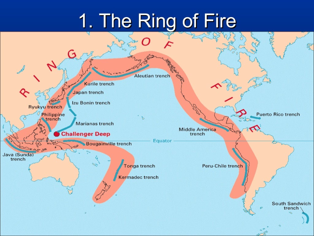
Earthquakes
Earthquakes in Japan: Why So Common and What to Do
PPT - Geothermal Energy, Tapping the Earth’s Internal Heat PowerPoint
